Space
“GPS is transforming the way nations operate in space -- from guidance systems for the International Space Station’s return vehicle to the control of communication satellites to entirely new forms of Earth remote sensing. When all is said and done, the power and compass of this new tool will surely surpass what we can imagine now.”
Dr. Tom Yunck, Jet Propulsion Laboratory, California, USA
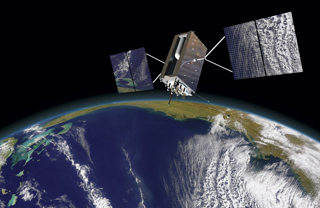
GPS is revolutionizing the space industry, travel, and exploration! Nations and countries are using GPS to operate in space from guidance systems for crewed vehicles, to the management/tracking/control of communication satellite constellations, to monitoring Earth from space. There are many benefits of using GPS which include:
· Space-qualified GPS units providing high precision orbit determination, and minimum ground control crews for navigation solutions.
· For attitude solutions, you can replace high cost on-board attitude sensors with low-cost multiple GPS antennae and specialized algorithms (i.e. ones used for Google Maps, Google Earth).
· For constellation control, the orbit maintained of large numbers of space vehicles such as telecommunication satellites by providing single point-of-contact to control.
· For timing solutions, you can replace expensive spacecraft atomic clocks with low-cost, precise time GPS receivers.
· For formation flying, GPS can be used for allowing precision satellite formations with minimal intervention from ground crews.
· For virtual platforms, GPS can provide automatic “station-keeping” and relative position services for advanced science tracking maneuvers (such as interferometry).
· For launch vehicle tracking, tracking radars can be augmented or replaced for higher precision, and lower-cost GPS units can be placed for autonomous flight termination and range safety.

|
|

|
Video

GPS and Kinematics by Simarjeet Singh Thind is licensed under a Creative Commons Attribution-NonCommercial-ShareAlike 4.0 International License.
Based on a work at http://www.gps.gov/.
